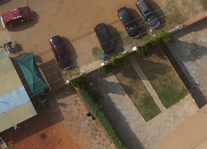
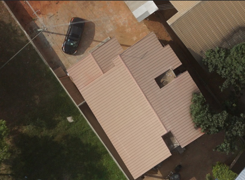
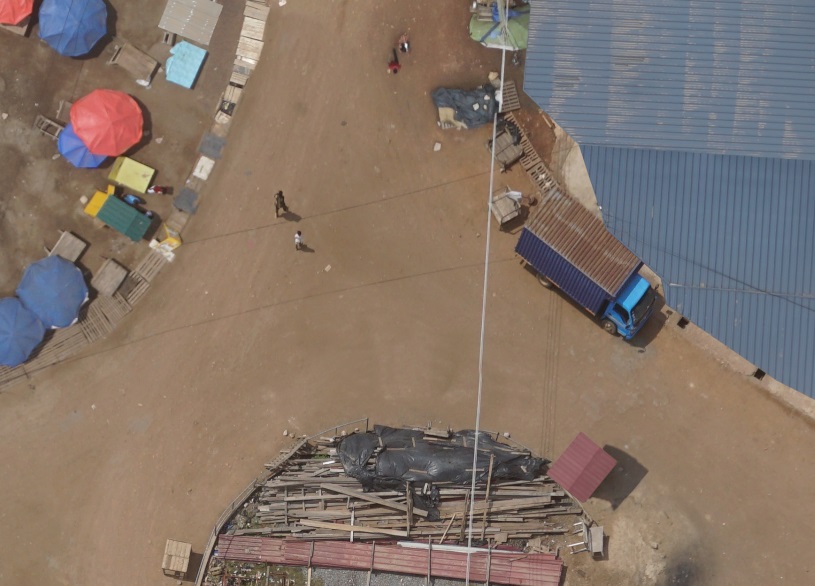
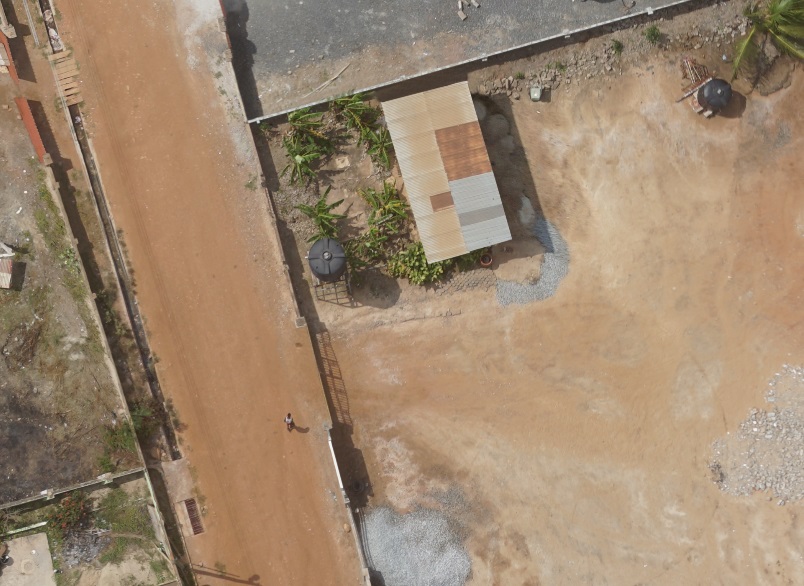
Introducing our dedicated UAV Surveying Division, specializing in advanced surveying solutions using state-of-the-art commercial drones. Our skilled team is equipped to operate in diverse locations, ensuring efficient data collection once local permissions are secured. What We Offer:
• High-Quality Deliverables: We produce true orthophotos, digital terrain models (DTM), digital surface models (DSM), and detailed contour lines.
• Feature Extraction: Our technology allows us to extract up to 65 different features, creating comprehensive maps tailored to various scales.
• Data Processing Services: If you already have collected data, we can handle the processing to generate all of the above outputs. Global Reach: Our UAV surveying services are available worldwide, contingent upon obtaining the necessary local permissions.
Ready to elevate your surveying project? Fill out this form, and our experts will respond promptly with a competitive proposal tailored to your needs.
Let Onyx Aerial take your project to new heights!